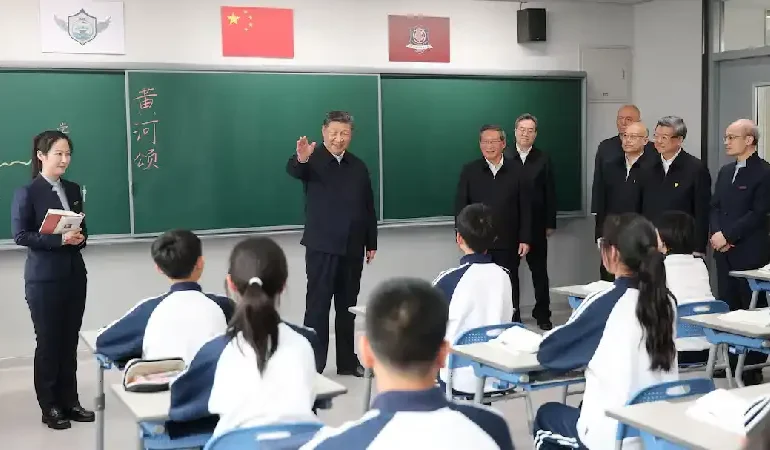
China expands ocean mapping campaign as analysts link research to submarine warfare strategy
China is carrying out a large scale effort to map the ocean floor across key global waters, a campaign that analysts say could play a critical role in future submarine warfare capabilities. Dozens of research vessels are operating across the Pacific, Indian, and Arctic oceans, collecting detailed data on underwater terrain and environmental conditions. While many missions are officially framed as scientific research, experts believe the information gathered provides strategic advantages in naval operations. The development reflects growing focus on undersea dominance as geopolitical competition intensifies between China and the United States.
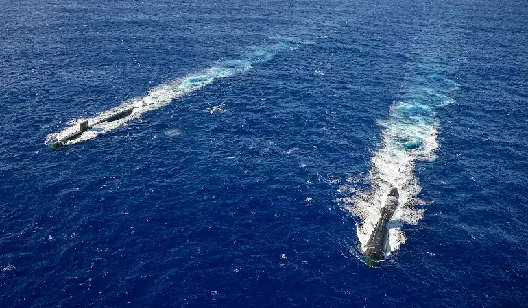
Tracking data shows that Chinese vessels have repeatedly surveyed strategically sensitive regions, including waters near Taiwan, Guam, and key shipping routes in the Indian Ocean. One vessel, Dong Fang Hong 3, has conducted extensive operations in these areas over the past two years, moving in precise patterns typically associated with seabed mapping. These missions involve collecting data on ocean depth, sediment, temperature, and acoustic conditions, all of which are essential for understanding how submarines can navigate, remain hidden, or detect adversaries in complex underwater environments.
Naval experts explain that detailed seabed mapping is a foundational requirement for modern submarine warfare. Knowledge of underwater terrain helps submarines avoid detection, optimize movement, and position sensors or equipment effectively. Data on sound propagation, influenced by water temperature and salinity, is particularly important for sonar systems used in both detection and evasion. Analysts say that the scale and consistency of China’s mapping activity suggest a coordinated effort to build a comprehensive picture of potential underwater battle zones, enhancing operational readiness in contested maritime regions.
Defense specialists also point to the integration of civilian research with military objectives as a key feature of China’s approach. The concept often described as civil military fusion enables scientific missions to contribute directly to national defense capabilities. Researchers and institutions involved in oceanographic studies are frequently linked to state agencies, allowing data collected for environmental or resource purposes to be used for strategic planning. Experts note that this dual use model is becoming increasingly important as technological and military boundaries continue to overlap.
The mapping effort comes at a time when undersea competition is gaining importance in global security strategy. Submarines remain one of the most critical assets in naval forces due to their ability to operate undetected and carry out surveillance, deterrence, and strike missions. Control of underwater environments is therefore seen as a major advantage in potential conflict scenarios. Analysts suggest that by expanding its knowledge of ocean conditions, China is working to reduce the historical advantage held by the United States in submarine operations.
Beyond military considerations, some of the mapping activities also support economic objectives such as identifying fishing zones and exploring mineral resources. However, experts emphasize that the same datasets can serve multiple purposes, making it difficult to separate scientific exploration from strategic intent. The widespread deployment of sensors and repeated survey missions indicate a long term investment in understanding maritime environments at a level of detail that can support both civilian and defense applications.
Recent assessments highlight that China’s survey operations are concentrated around critical maritime chokepoints and areas near US allied territories, including parts of the First Island Chain. These regions are considered strategically important for both trade and military positioning. By mapping these areas extensively, China is building a foundation for more effective deployment of submarines and monitoring systems, potentially altering the balance of power in key ocean regions.
The scale of activity has drawn attention from defense analysts and policymakers, who view the campaign as part of a broader effort to enhance China’s blue water naval capabilities. As research vessels continue to operate across multiple oceans, the accumulation of data is expected to strengthen China’s ability to navigate, conceal, and detect undersea assets in complex environments, shaping future dynamics in maritime security and strategic competition.